


Departure Airport Townsville - Australia (TSV) Destination Airport Lewiston - United States (LWS)
Departure Airport
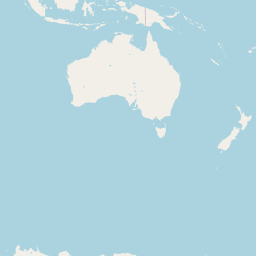
Townsville - Australia (TSV)

Current Time: GMT+10
Destination Airport
Lewiston - United States (LWS)
Current Time: PST
Distance: 12010.15 km / 7462.76 miles
www.distanceairport.com
Estimated Flight Duration: 15h 1m
Calculate Distance Between Airports
Welcome to our comprehensive platform, designed to serve travelers, logistics professionals, aviation enthusiasts, and anyone in between. Our primary aim is to offer you a seamless way to calculate the exact distance between any two airports worldwide.
Other distances
From SXF to ITM From ANM to HAH From KYK to TLL From VKO to CIA From LLU to ZFN From SDR to SPU From ASV to UKK From EWB to IFO From CLM to GUC From NYC to KOI
© Doorify Tech S.r.l. - 2023-2025 - Made by
Trouble Flight