


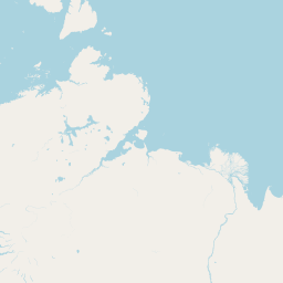
Departure Airport Celaya - Mexico (CYW) Destination Airport Bayanhot - China (AXF)
Departure Airport
Celaya - Mexico (CYW)

Current Time: CST
Destination Airport
Bayanhot - China (AXF)
Current Time: GMT+8
Distance: 12901.76 km / 8016.78 miles
www.distanceairport.com
Estimated Flight Duration: 16h 8m
Calculate Distance Between Airports
Welcome to our comprehensive platform, designed to serve travelers, logistics professionals, aviation enthusiasts, and anyone in between. Our primary aim is to offer you a seamless way to calculate the exact distance between any two airports worldwide.
Other distances
From IXC to CJM From RSW to MEE From BYO to LRR From RYO to BXB From MDT to VOL From SAP to FEG From BCA to PKC From HLA to BZN From ACZ to PDG From WPR to LPY
© Doorify Tech S.r.l. - 2023-2025 - Made by
Trouble Flight