


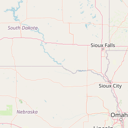


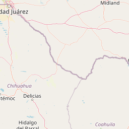


Departure Airport Sioux Falls - United States (FSD) Destination Airport Hobbs - United States (HOB)
Departure Airport
Sioux Falls - United States (FSD)

Current Time: CDT
Destination Airport
Hobbs - United States (HOB)
Current Time: MDT
Distance: 1335.79 km / 830.02 miles
www.distanceairport.com
Estimated Flight Duration: 1h 40m
Calculate Distance Between Airports
Welcome to our comprehensive platform, designed to serve travelers, logistics professionals, aviation enthusiasts, and anyone in between. Our primary aim is to offer you a seamless way to calculate the exact distance between any two airports worldwide.
Other distances
From ZNE to GWD From ATW to DBV From PNH to TTA From CTG to LYI From SJU to BZG From KXK to DUJ From AHB to SRG From TLM to HRG From GAO to CUR From TCO to BEJ
© Doorify Tech S.r.l. - 2023-2025 - Made by
Trouble Flight