


Departure Airport Peach Springs - United States (GCW) Destination Airport Wrangell - United States (WRG)
Departure Airport
Peach Springs - United States (GCW)

Current Time: MST
Destination Airport
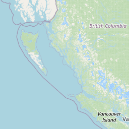
Wrangell - United States (WRG)
Current Time: AKDT
Distance: 2669.45 km / 1658.72 miles
www.distanceairport.com
Estimated Flight Duration: 3h 20m
Calculate Distance Between Airports
Welcome to our comprehensive platform, designed to serve travelers, logistics professionals, aviation enthusiasts, and anyone in between. Our primary aim is to offer you a seamless way to calculate the exact distance between any two airports worldwide.
Other distances
From OAJ to GXF From SHD to PDL From CID to IEG From SNE to HOE From NVI to MVL From NCU to SBH From ASE to IQQ From XEA to HKT From YGR to LAD From TVU to KRT
© Doorify Tech S.r.l. - 2023-2025 - Made by
Trouble Flight