


Departure Airport Boigu Island, Queensland - Australia (GIC) Destination Airport La Paz - Bolivia (LPB)
Departure Airport
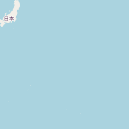
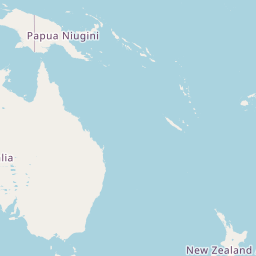
Boigu Island, Queensland - Australia (GIC)

Current Time: GMT+10
Destination Airport
La Paz - Bolivia (LPB)

Current Time: GMT-4
Distance: 15612.05 km / 9700.87 miles
www.distanceairport.com
Estimated Flight Duration: 19h 31m
Calculate Distance Between Airports
Welcome to our comprehensive platform, designed to serve travelers, logistics professionals, aviation enthusiasts, and anyone in between. Our primary aim is to offer you a seamless way to calculate the exact distance between any two airports worldwide.
Other distances
From SWF to MSY From RMQ to SBP From ADQ to PZB From YWH to RDP From SZF to BUD From GDL to UKK From POM to BHU From HGN to QSR From FIH to CGH From OMR to MCX
© Doorify Tech S.r.l. - 2023-2025 - Made by
Trouble Flight