


Departure Airport Guayaramerin - Bolivia (GYA) Destination Airport Peach Springs - United States (GCW)
Departure Airport
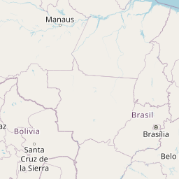
Guayaramerin - Bolivia (GYA)

Current Time: GMT-4
Destination Airport
Peach Springs - United States (GCW)
Current Time: MST
Distance: 7269.36 km / 4516.97 miles
www.distanceairport.com
Estimated Flight Duration: 9h 5m
Calculate Distance Between Airports
Welcome to our comprehensive platform, designed to serve travelers, logistics professionals, aviation enthusiasts, and anyone in between. Our primary aim is to offer you a seamless way to calculate the exact distance between any two airports worldwide.
Other distances
From KRO to OXB From FLO to HKB From YCK to AZA From CAZ to GBE From ZYH to WAW From YPR to BCI From JAC to FUN From MNL to RXS From POZ to VST From LZS to ZNA
© Doorify Tech S.r.l. - 2023-2025 - Made by
Trouble Flight