


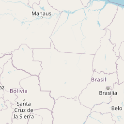


Departure Airport Imperial - United States (IPL) Destination Airport La Paz - Bolivia (LPB)
Departure Airport
Imperial - United States (IPL)

Current Time: PDT
Destination Airport
La Paz - Bolivia (LPB)

Current Time: GMT-4
Distance: 7446.02 km / 4626.74 miles
www.distanceairport.com
Estimated Flight Duration: 9h 18m
Calculate Distance Between Airports
Welcome to our comprehensive platform, designed to serve travelers, logistics professionals, aviation enthusiasts, and anyone in between. Our primary aim is to offer you a seamless way to calculate the exact distance between any two airports worldwide.
Other distances
From HOT to MSS From RFD to CFS From GNA to LED From JKG to WGA From GNV to COD From PGK to BQN From TSF to RLG From ENH to OLB From SPY to BJL From IVL to ILM
© Doorify Tech S.r.l. - 2023-2025 - Made by
Trouble Flight