


Departure Airport La Paz - Bolivia (LPB) Destination Airport Peach Springs - United States (GCW)
Departure Airport
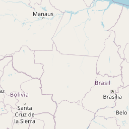
La Paz - Bolivia (LPB)

Current Time: GMT-4
Destination Airport
Peach Springs - United States (GCW)

Current Time: MST
Distance: 7555.16 km / 4694.56 miles
www.distanceairport.com
Estimated Flight Duration: 9h 27m
Calculate Distance Between Airports
Welcome to our comprehensive platform, designed to serve travelers, logistics professionals, aviation enthusiasts, and anyone in between. Our primary aim is to offer you a seamless way to calculate the exact distance between any two airports worldwide.
Other distances
From JSU to LBD From KOI to CIH From YAG to DDG From SLZ to ZYI From HEA to YGW From SFA to SJC From KYD to SKZ From IFP to OSD From PNK to FWA From NPE to PZU
© Doorify Tech S.r.l. - 2023-2025 - Made by
Trouble Flight