


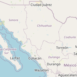


Departure Airport Lewiston - United States (LWS) Destination Airport Piedras Negras - Mexico (PDS)
Departure Airport
Lewiston - United States (LWS)

Current Time: PDT
Destination Airport
Piedras Negras - Mexico (PDS)
Current Time: CDT
Distance: 2440.26 km / 1516.31 miles
www.distanceairport.com
Estimated Flight Duration: 3h 3m
Calculate Distance Between Airports
Welcome to our comprehensive platform, designed to serve travelers, logistics professionals, aviation enthusiasts, and anyone in between. Our primary aim is to offer you a seamless way to calculate the exact distance between any two airports worldwide.
Other distances
From LYI to QBC From PPT to CLT From BTV to ABI From GRV to AGT From BLL to YPH From AOR to KAO From FRS to FOR From SBP to MSL From ZYU to YNB From WLK to NYK
© Doorify Tech S.r.l. - 2023-2025 - Made by
Trouble Flight