


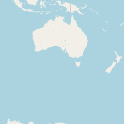


Departure Airport Majuro - Marshall Islands (MAJ) Destination Airport Pensacola - United States (PNS)
Departure Airport
Majuro - Marshall Islands (MAJ)

Current Time: GMT+12
Destination Airport
Pensacola - United States (PNS)
Current Time: CDT
Distance: 10701.89 km / 6649.84 miles
www.distanceairport.com
Estimated Flight Duration: 13h 23m
Calculate Distance Between Airports
Welcome to our comprehensive platform, designed to serve travelers, logistics professionals, aviation enthusiasts, and anyone in between. Our primary aim is to offer you a seamless way to calculate the exact distance between any two airports worldwide.
Other distances
From IFP to YNZ From CAZ to DUB From PHG to CXB From LWY to CKY From TPA to OMR From GCK to FOG From XGB to SYD From SHH to YAT From PXM to AMS From DAV to FSM
© Doorify Tech S.r.l. - 2023-2025 - Made by
Trouble Flight