


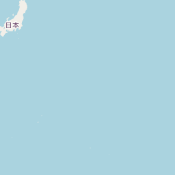
Departure Airport Manley Hot Springs - United States (MLY) Destination Airport La Paz - Bolivia (LPB)
Departure Airport
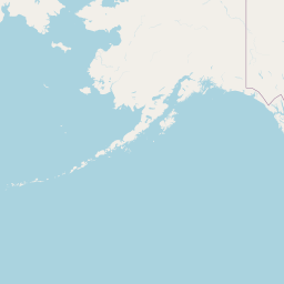
Manley Hot Springs - United States (MLY)

Current Time: AKDT
Destination Airport
La Paz - Bolivia (LPB)

Current Time: GMT-4
Distance: 11318.77 km / 7033.15 miles
www.distanceairport.com
Estimated Flight Duration: 14h 9m
Calculate Distance Between Airports
Welcome to our comprehensive platform, designed to serve travelers, logistics professionals, aviation enthusiasts, and anyone in between. Our primary aim is to offer you a seamless way to calculate the exact distance between any two airports worldwide.
Other distances
From ZDJ to BBN From ASR to MHT From BKL to SYR From TSA to PSG From ORK to AKL From CUZ to ZAD From RNB to TTN From BHR to MMA From GGG to URS From BHK to NPE
© Doorify Tech S.r.l. - 2023-2025 - Made by
Trouble Flight