


Departure Airport Rock Springs - United States (RKS) Destination Airport Tamale - Ghana (TML)
Departure Airport
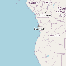
Rock Springs - United States (RKS)

Current Time: MDT
Destination Airport
Tamale - Ghana (TML)
Current Time: GMT
Distance: 10774.86 km / 6695.19 miles
www.distanceairport.com
Estimated Flight Duration: 13h 28m
Calculate Distance Between Airports
Welcome to our comprehensive platform, designed to serve travelers, logistics professionals, aviation enthusiasts, and anyone in between. Our primary aim is to offer you a seamless way to calculate the exact distance between any two airports worldwide.
Other distances
From BGR to TIP From SRI to TIA From RTW to MWA From PQQ to JMO From TFN to KGV From NCU to DJJ From ABS to POL From SGN to YCD From DPS to LWO From KRP to TRD
© Doorify Tech S.r.l. - 2023-2025 - Made by
Trouble Flight