Departure Airport Show Low - United States (SOW) Destination Airport Hobbs - United States (HOB)
Departure Airport
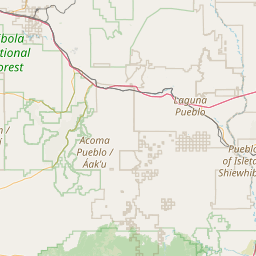
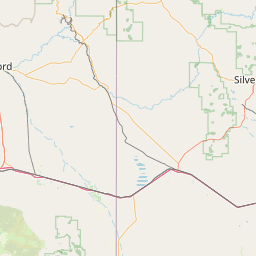
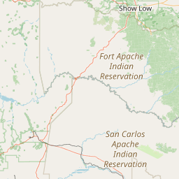
Show Low - United States (SOW)

Current Time: MST
Destination Airport
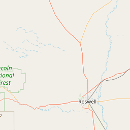
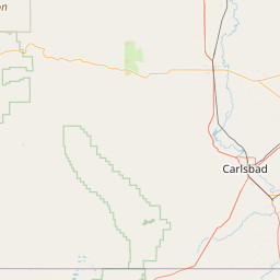
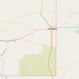
Hobbs - United States (HOB)
Current Time: MDT
Distance: 653.23 km / 405.90 miles
www.distanceairport.com
Estimated Flight Duration: 0h 49m
Calculate Distance Between Airports
Welcome to our comprehensive platform, designed to serve travelers, logistics professionals, aviation enthusiasts, and anyone in between. Our primary aim is to offer you a seamless way to calculate the exact distance between any two airports worldwide.
Other distances
From ABY to NCL From UOL to CHO From SHJ to CLD From KBP to NYK From AAL to LVI From SOY to TUL From COD to NBO From PAT to KXK From HGR to YCK From ESB to GRY
© Doorify Tech S.r.l. - 2023-2025 - Made by
Trouble Flight