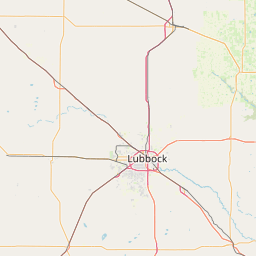
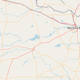
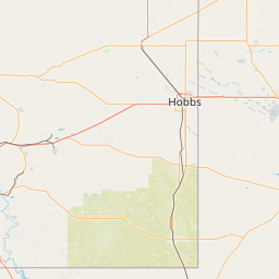
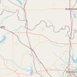
Departure Airport Wichita Falls - United States (SPS) Destination Airport Hobbs - United States (HOB)
Departure Airport
Wichita Falls - United States (SPS)

Current Time: CDT
Destination Airport
Hobbs - United States (HOB)
Current Time: MDT
Distance: 462.06 km / 287.11 miles
www.distanceairport.com
Estimated Flight Duration: 0h 35m
Calculate Distance Between Airports
Welcome to our comprehensive platform, designed to serve travelers, logistics professionals, aviation enthusiasts, and anyone in between. Our primary aim is to offer you a seamless way to calculate the exact distance between any two airports worldwide.
Other distances
From YDA to OKC From CNM to YUX From TWF to EMA From MKQ to UIN From CVN to BCN From NPL to BRL From KPN to SRG From CRD to SML From TFS to LIN From ZCL to MSN
© Doorify Tech S.r.l. - 2023-2025 - Made by
Trouble Flight