


Departure Airport Tanjung Selor, Borneo - Indonesia (TJS) Destination Airport Surat - India (STV)
Departure Airport
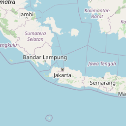
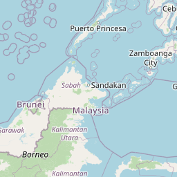
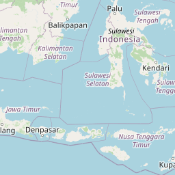
Tanjung Selor, Borneo - Indonesia (TJS)

Current Time: GMT+8
Destination Airport
Surat - India (STV)
Current Time: GMT+5:30
Distance: 5234.60 km / 3252.63 miles
www.distanceairport.com
Estimated Flight Duration: 6h 33m
Calculate Distance Between Airports
Welcome to our comprehensive platform, designed to serve travelers, logistics professionals, aviation enthusiasts, and anyone in between. Our primary aim is to offer you a seamless way to calculate the exact distance between any two airports worldwide.
Other distances
From MTS to UEL From MCX to CTL From LFW to CYB From YQT to STS From TYR to KUU From VXC to EIK From VTZ to REX From BDP to DOP From ELC to MCE From CDB to UUA
© Doorify Tech S.r.l. - 2023-2025 - Made by
Trouble Flight