


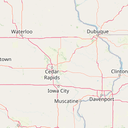
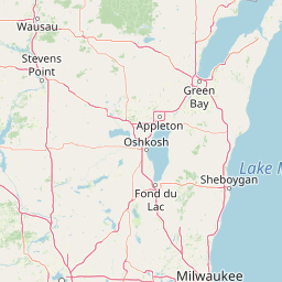


Departure Airport Quincy - United States (UIN) Destination Airport Appleton - United States (ATW)
Departure Airport
Quincy - United States (UIN)

Current Time: CDT
Destination Airport
Appleton - United States (ATW)
Current Time: CDT
Distance: 528.06 km / 328.12 miles
www.distanceairport.com
Estimated Flight Duration: 0h 40m
Calculate Distance Between Airports
Welcome to our comprehensive platform, designed to serve travelers, logistics professionals, aviation enthusiasts, and anyone in between. Our primary aim is to offer you a seamless way to calculate the exact distance between any two airports worldwide.
Other distances
From SEA to EAE From ARC to CNM From BHM to MRU From REK to SCK From TKD to IXJ From YQR to RSD From JMK to CLO From MZO to QGQ From PRI to RKZ From DAR to DHI
© Doorify Tech S.r.l. - 2023-2025 - Made by
Trouble Flight