


Departure Airport Yellowknife - Canada (YZF) Destination Airport Punta Gorda - United States (PGD)
Departure Airport
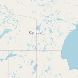
Yellowknife - Canada (YZF)

Current Time: MDT
Destination Airport
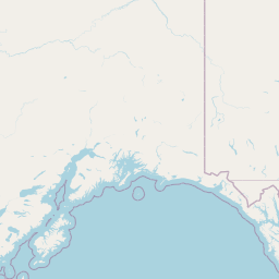
Punta Gorda - United States (PGD)
Current Time: EDT
Distance: 4612.08 km / 2865.81 miles
www.distanceairport.com
Estimated Flight Duration: 5h 46m
Calculate Distance Between Airports
Welcome to our comprehensive platform, designed to serve travelers, logistics professionals, aviation enthusiasts, and anyone in between. Our primary aim is to offer you a seamless way to calculate the exact distance between any two airports worldwide.
Other distances
From BRQ to WIL From CYO to LEL From ATH to ICI From VBY to GHA From ASJ to AFL From KHN to CSH From OTH to TEN From RSD to CFR From GEV to RLK From AOK to STW
© Doorify Tech S.r.l. - 2023-2025 - Made by
Trouble Flight